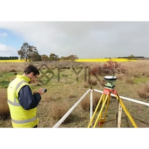
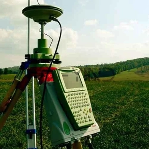
We provide precise measurement and mapping of land to support property ownership, design, and construction activities. The service includes boundary surveys to define legal property lines, topographic mapping to capture terrain and site features, and construction layout to accurately position structures and utilities. This ensures reliable data for planning, compliance, and successful project execution.