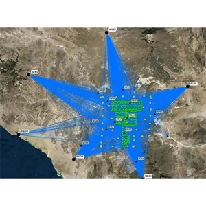
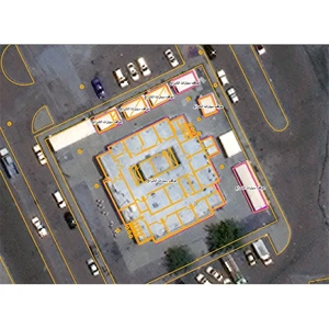
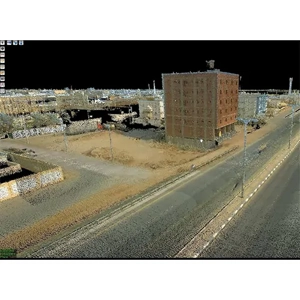
Service Description DAR Al Riyadh has turnkey solutions for Geographic Information Systems (GIS) based on base mapping. Aerial/Drone Photogrammetry is a first-rate resource for producing accurate base maps. It allows very large areas to be captured cost-effectively, quickly, homogeneously, and accurately. We are qualified to use the latest technology to do/deliver